Sign In
Create an account and enjoy all the benefits of HAR.com!
Sign In
Sign in using social account
When buying or selling real estate within Houston’s Inner Loop, looking at the urban core as a single, uniform market is a major miscalculation. Inside the I-610 Loop boundary, real estate dynamics change completely - not just by the ZIP code, but by the street block.
Because Houston is famous for having no formal municipal zoning laws, land use in the urban core is governed by an invisible patchwork of private deed restrictions, city ordinances like Chapter 42 lot-splitting rules, and neighborhood associations. Navigating these invisible lines requires a deep look at hyper-local data.
Understanding the Structural Variance
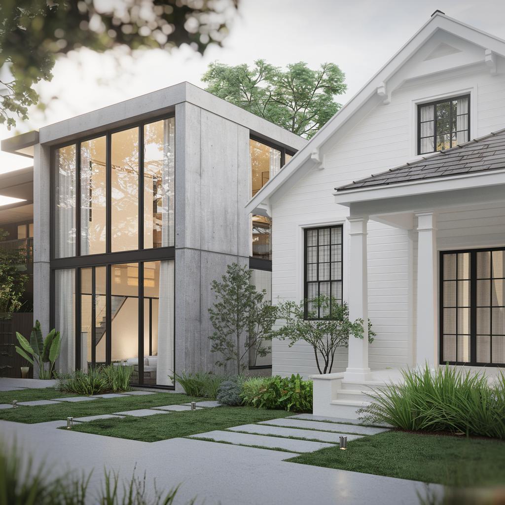
Without a city zoning map to dictate development, Inner Loop neighborhoods have historically had to protect their own property values. This has created two very different environments side-by-side:
The Shift in Market Velocity
The urban ecosystem is also showing a clear divergence in market speeds based strictly on these structural variables. While a meticulously maintained, deed-restricted property in an established pocket might find a buyer in a single weekend, a luxury vertical townhome in a highly dense, unrestricted block may take a more measured pace.
Furthermore, single-family inventory across the city has opened up compared to recent historical lows. This gives buyers more available options to review and negotiate, meaning that for sellers, precise, data-driven pricing and immaculate property presentation are paramount to competing effectively.
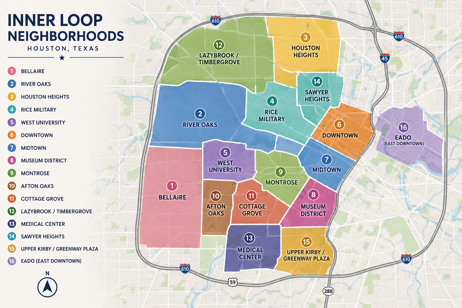
Read the Full Master Guide and View the Map
Understanding these micro-markets is essential to protecting your equity, whether you are trading a luxury urban condo or looking to transition your capital from the city grid into sweeping Texas land and ranch acreage.
To help buyers and sellers visualize the entire urban core, I have published a comprehensive, interactive directory breaking down the specific physical amenities, zip codes, and architectural landscapes for all 14 distinct pockets inside the 610 boundary.
